Cole has had several posts of our trip to Mount Cook already, it was such a crazy weekend. I thought I'd contribute with a few more pictures. Its amazing that there is still stuff to tell from that adventure. It was a very rainy weekend. We were camping in a campground, the tent section was a large rugged area with lots of growth so we were able to get tucked back into the trees. It just rained and rained... the tent was so saturated the whole time.
It rained all night both nights that we camped. The tent gave it the old college try, and it did keep out most of the water, but by the second morning there were puddles by our feet and some of the bedding was wet.
Despite the rain, the scenery was worth it. This was the view from the tent. We were sitting pretty far north on Lake Pukaki, about 10 minutes from Mt Cook park.
Like everywhere else in NZ, raining one minute, perfect blue skies the next.
Lake Pukaki is formed by glacial melt, so it is very cloudy, silty water. It gives the lake a magnificent blue color. More pictures of that later. We got some great shots when we went over to Lake Tekapo on our second day.
We headed north into the park. Rain was coming and going all the time. The meadows were flat until it reached the base of the mountains where the would rise upward steeply.
Woe-is-us... the rain continued so we retreated indoors to the museums and what not at Mt Cook National Park.
There was a cool stained glass exhibit. We took a picture of one with our favorite NZ bird, the kaka.
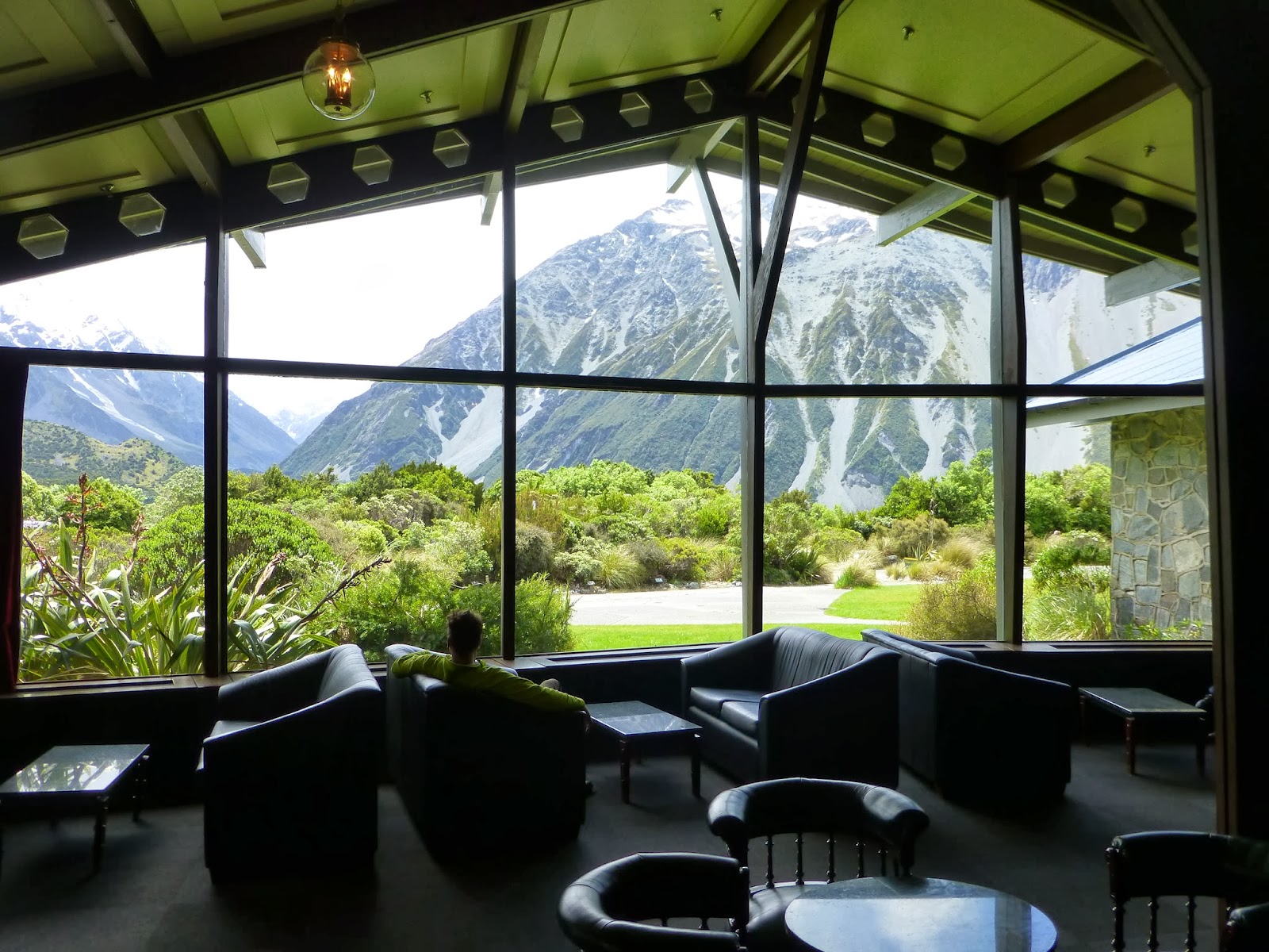
Cole, enjoying the view, waiting out the rain.
Looking up the mountain sides from the lodge, it looked like snow was constantly slipping down. Wouldn't want to be standing up there.
The rain let up! (for like an hour..) so we headed out towards Tasman lake and glacier. We drove up a hillside, and this was a view back down the valley. They are constructing a new road down by the river in the picture.
Fresh snow on the mountains making new waterfalls all around.
At the end of the road, there was a rocky climb to get to a viewing point for the glaciers looking back you could see all the rocky rubble and the "blue lakes" in the distance.
According to the brochure, these were called the blue lakes because they were intensely blue... Maybe more appropriately "green ponds."
From the top you could really see back down the valley. That's the Tasman river winding down there.
Looking down at Tasman lake, it is made up of glacier melt, often full of little icebergs breaking off the glacier. The water was milky from all the silt from the glacier. The glacier used to be much bigger and has decreased over the past 10,000 years or so. You can see all the gravel around the edges of the lake were the glacier ground the rock into bits.
All the way across the leg you could barely make out the leading edge of the glacier.
Another shot of all the gravel and the milky lake. Across the lake you can see how high the glacier used to be from where it ground down the rock leaving a large "scar" across the mountains.
When it stopped raining and the clouds cleared a little you could see the muddy glacier snaking its way through the ravine. You could almost imagine it slowly sliding down the valley.
Looking the other way down Tasman Lake there were a few little icebergs floating along broken off of the main glacier.
That little guy was pretty blue, but they mostly looked dirty. The water was so strangely colored. I bet that water is cold.

Back at camp, packing up on the last day, the clouds finally parted giving us our first glimpses of the magnificent Mount Cook. I know these are all similar but I couldn't help myself. Such a stunning peak.


No comments:
Post a Comment